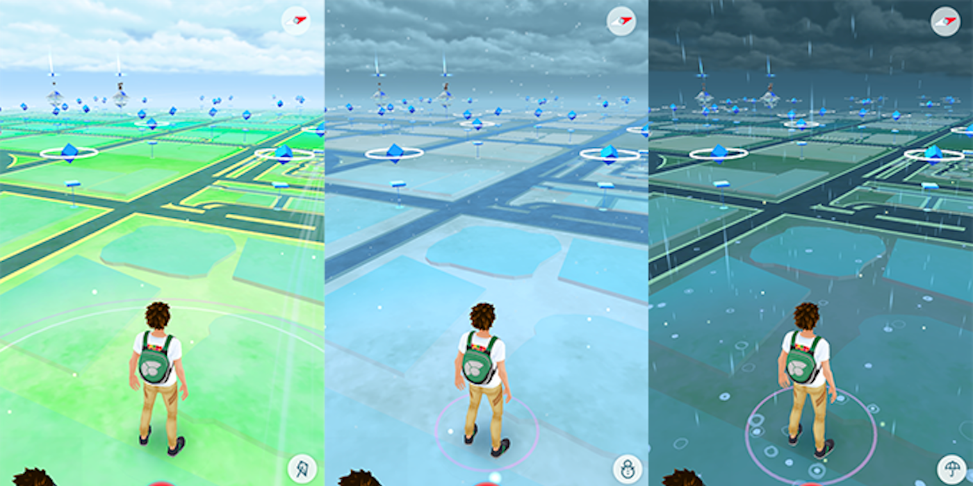
A Norwegian researcher named Helga Dis Isfold Sigurdardottir recently got lost in a forest in Spain while with her husband and a friend. They had trouble finding their way back because the paths didn't appear on Google Maps. Google Maps primarily collects vehicle data, often ignoring lesser-known paths in natural areas, unlike Pokémon Go.
As reported by NRK and posted on RedditSigurdardottir and his friends became disoriented amid a maze of small, unlabeled paths that Google Maps didn't recognize. After two hours of unsuccessful searching, Sigurdardottir decided to use the Pokemon GO application. To his surprise, the game map showed forest trails much more accurately than Google Maps. Following these game-generated paths, they managed to find their way back to safety. This is because Pokémon Go uses Open Street Map data, which is enhanced by player contributions.
Fan escapes from a dense forest thanks to Pokémon Go maps
Pokémon comes to the rescue
THE Pokémon Go The map shows how crowdsourced mapping data can be useful for navigation, especially in off-road or less-traveled areas. This incident emphasizes that augmented reality games can provide practical benefits beyond entertainment, making them a surprisingly useful tool for navigation when regular map apps can't keep up.
Many online reviews support the use Pokémon Go when you need help as a pedestrian. User RealBug56 he said, "I always use PoGo when I'm traveling because it shows tourist attractions better than Google Maps." Pokemon GO has a real advantage when detailed pedestrian information is needed. Niantic has a big advantage thanks to how frequently users move around the world while walking, similar to how Google Maps uses drivers in its mapping system.
Our opinion: Pokémon GO is better for pedestrians than Google Maps
Maybe Google Maps needs an update
In my experience, Google Maps doesn't always have the details for navigating less-traveled paths, especially when hiking. On the other hand, Pokémon Go It was built for pedestrians because that's its main demographic, so it offers better visualization of trails and paths for your map. It shows locations such as Pokéstops and Gyms, but also how to get to these locations, as other users have already hiked there.
The situation with Sigurdardottir highlights the need for a mapping app that specifically caters to walkers, whether through a Google Maps update or otherwise. While Pokémon Go It's fun, shouldn't it be the most useful tool for trail hiking survival. Fortunately, it will continue to be updated thanks to December's Spotlight Hour schedule, which encourages more players to hit trails.
- Platform(s)
-
iOS, Android
- Released
-
July 6, 2016
- Developer(s)
-
Niantic, the Pokémon company
- Editor(s)
-
Niantic
